Photo: Umpqua River Lighthouse Information Sign Oregon
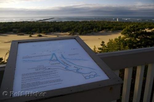
An information sign at the Umpqua River mouth along Highway 101 in Oregon, USA that overlooks the lighthouse and sand dunes.
Reading the information sign at the viewpoint near the Umpqua River Lighthouse along the Oregon Coast in the USA gives you a better understanding of the area. The sand dunes cover a vast area in the Umpqua River Lighthouse State Park and the river glistens in the sunlight off in the distance as the clouds linger above. Along the coastline, you can see the white tower of the lighthouse which is not the first one to be built here.After the lighthouse was destroyed by the powerful forces of the Oregon coast waters due to the fact that it was built on the sand dunes, the most recent lighthouse was laid out differently. It was built on a foundation that was on a high ridge away from the sand dunes and the force of the water.Not only is the scenery around the Umpqua River fascinating, but many people enjoy the outdoor activities of off roading across these massive sand dunes.The river itself is approximately one hundred and eleven miles long and it is a very important river along the Oregon coastline. ... continue below the picture...
Umpqua River Lighthouse Information Sign Oregon

Pictures from photo gallery "Pictures Of La Source Parfumee"
Related stock photo galleries, pictures & travel ideas:
Umpqua River Lighthouse Information Sign Oregon
... The Umpqua River valley had many different bands of Indians living along it in the early days and the river was name for the Umpqua people, a Indian band of the Coquille.In this picture, you can see how the information sign displays the layout of the Umpqua River and the area surrounding it. Take in the written details explaining the area and allow yourself to fully enjoy the scenery of the river, sand dunes, greenery and lighthouse while visiting the Oregon Coast.Sign at the Umpqua River Lighthouse, Highway 101, Oregon Coast, USA, North America.
Technical Information:
I photographed this photo with the digital SLR camera model Canon EOS-1DS, aperture of f/5.6, exposure time of 1/250 sec. on ISO 200, as always I used a original Canon Lens, the focus lenght for this picture was 28mm.
An information sign at the Umpqua River mouth along Highway 101 in Oregon, USA that overlooks the lighthouse and sand dunes.
