Canada Pictures
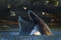
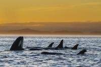
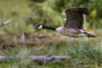
Selection of Canada pictures, photos and photo galleries for all canadian Provinces, showing natural beauty, outdoor adventure, culture and wildlife, photographed by professional photographer Rolf Hicker. (There are 6388 photos in this photo gallery.)
The second largest country in the world, Canada occupies a generous portion of North America. Divided into ten provinces and three territories, Canada stretches from the Pacific Ocean in the west to the Atlantic Ocean in the east, and borders the Arctic Ocean to the north.
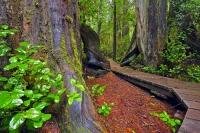
Along the wild west coast of the Pacific Ocean, the province of British Columbia has great whale watching, ancient old growth forests, and an abundance of wildlife. The Rocky Mountains, shared with the neighbouring province of Alberta, are renown for spectacular scenery and wildlife viewing. West of the Rockies, the vast prairies extend from Alberta through Saskatchewan and Manitoba. ...More information below photos...
Interesting Photo galleries related to "Canada Pictures"
- Alberta Pictures (613)
- Atlantic Canada (1154)
- British Columbia Pictures (2786)
- Canadian National Park (302)
- Central Canada (117)
- Eastern Canada (1336)
- Manitoba Pictures (222)
- New Brunswick Pictures (29)
- Newfoundland Labrador Pictures (1085)
- Nova Scotia Pictures (240)
- Ontario Pictures (733)
- Provincial Parks Of Canada (212)
- Quebec Pictures (741)
- Saskatchewan Pictures (57)
- Vancouver Island Pictures (2118)
- Western Canada (482)
- Yukon Territory Pictures (149)
...Continue gallery information:
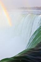
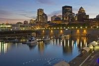
Central Canada is made up of the large provinces of Quebec and Ontario. Quebec celebrates Canada's unique French language and heritage. The historic city of Quebec is a favourite with visitors. Ontario is a province of lakes, dominated by the massive Great Lakes. Canada's largest city, Toronto is situated on the shores of Lake Ontario while the impressive Niagara Falls straddle the Canada-US border.
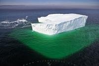
The provinces of New Brunswick, Prince Edward Island, Nova Scotia and Newfoundland and Labrador make up Atlantic Canada, New Brunswick, Prince Edward Island and Nova Scotia are also known as the Canadian Maritimes. Here, one can explore the maritime way of life through heritage sites and quaint fishing villages.
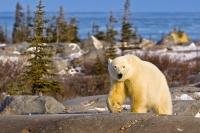
Northern Canada, land of ice and snow, is divided into three territories: the Yukon, Northwest Territories and Nunavut. From northern lights to Inuit culture, the north has a special flavour all of its own.
Explore our gallery of Canada pictures which features photographs of Canada's provinces from West to East.


